Topographic Differencing
Welcome Guest ( Sign In )
3 differencing tools available for dataset: Yosemite National Park, CA: Rockfall Studies. Please select a tool for differencing high resolution topography:
Vertical Differencing (start with raster): Start Differencing
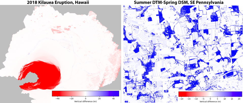
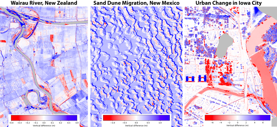
 Description: Subtraction of Digital Elevation Models (DEMs) beginning with raster data. Typically, this works faster and for larger datasets than the point cloud option. This tool also differences Digital Surface Models (DSMs) and Digital Terrain Models (DTMs).
 Applications: Geologic and anthropogenic processes including river erosion and deposition, earthquakes, volcanic eruptions, deforestation, and urban growth.
Vertical Differencing (start with point cloud): Start Differencing
 Description: Subtraction of DEMs generated on-demand from point clouds. This tool is slower than the raster option, but users can select a subset of point classifications (for example, ground points).
 Applications: Geologic and anthropogenic processes including river erosion and deposition, earthquakes, volcanic eruptions, deforestation, and urban growth.
3D Differencing: Start Differencing
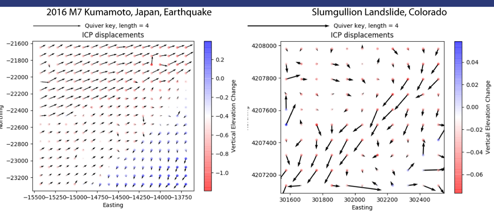
 Description: Calculation of the 3D displacement field using a windowed implementation of the Iterative Closest Point (ICP) algorithm.
 Applications: Surface rupturing earthquakes, creeping landslides, or other processes where the landscape shifts laterally.
