Topographic Differencing
Welcome Guest ( Sign In )
2 differencing tools available for dataset: Marlborough, New Zealand 2020-2022. Please select a tool for differencing high resolution topography:
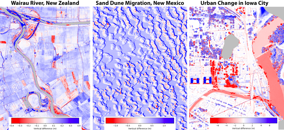
Vertical Differencing (start with point cloud): Start Differencing
 Description: Subtraction of DEMs generated on-demand from point clouds. This tool is slower than the raster option, but users can select a subset of point classifications (for example, ground points).
 Applications: Geologic and anthropogenic processes including river erosion and deposition, earthquakes, volcanic eruptions, deforestation, and urban growth.
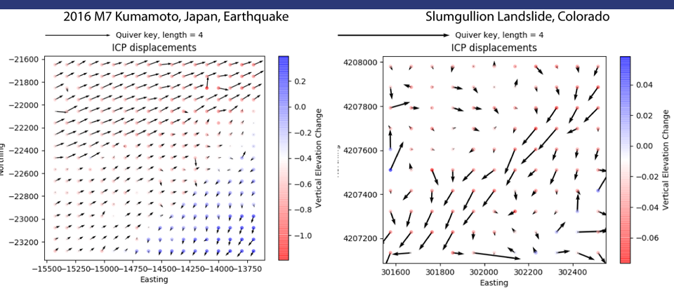
3D Differencing: Start Differencing
 Description: Calculation of the 3D displacement field using a windowed implementation of the Iterative Closest Point (ICP) algorithm.
 Applications: Surface rupturing earthquakes, creeping landslides, or other processes where the landscape shifts laterally.
