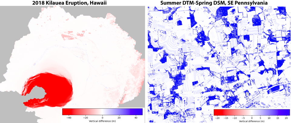
Topographic Differencing
Welcome Guest ( Sign In )
1 differencing tool available for dataset: Quantifying Channel Change in a Steep Coastal Stream, CA 2022. Please select a tool for differencing high resolution topography:
Vertical Differencing (start with raster): Start Differencing
 Description: Subtraction of Digital Elevation Models (DEMs) beginning with raster data. Typically, this works faster and for larger datasets than the point cloud option. This tool also differences Digital Surface Models (DSMs) and Digital Terrain Models (DTMs).
 Applications: Geologic and anthropogenic processes including river erosion and deposition, earthquakes, volcanic eruptions, deforestation, and urban growth.
